The 1835 Eruption of Volcan Cosiguina
Introduction
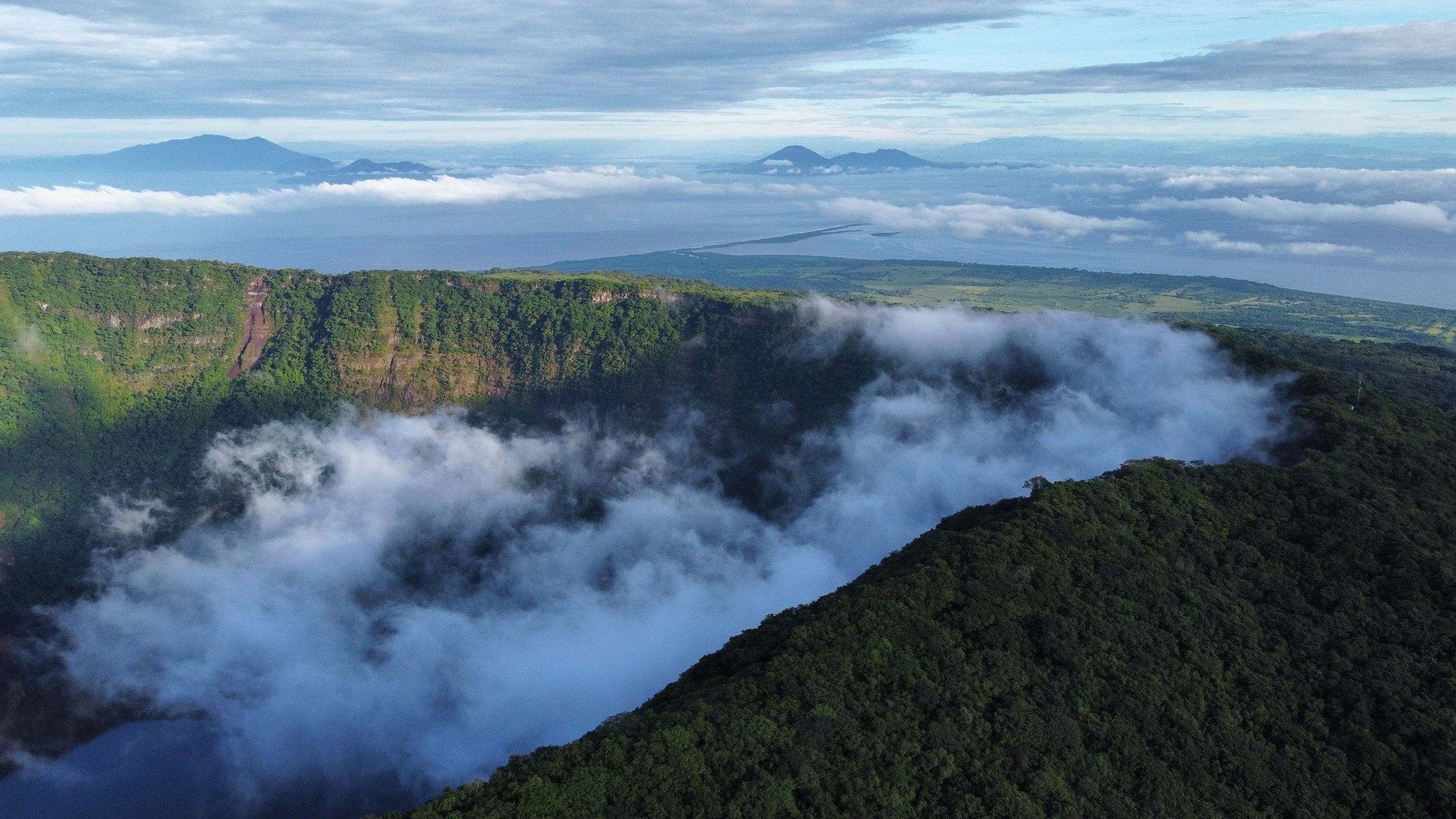
Cosiguina (13.0° N, 87.6° W) is an andesitic composite volcano, 860 meters in elevation, forming a peninsula on the western coast of Nicaragua (see Fig. 1). Williams considered the volcano to be extinct prior to 1835, but Caldcleugh (1836) mentions eruptions in 1709 and 1809. The volcano has a distinct somma rim around the northern edges of a young summit cone rising 300 meters above the rim (see Fig. 2). The elliptical summit crater is about 500 meters deep with major and minor axes 2.4 and 2.0 km in diameter, respectively. Williams envisaged that a considerable peak was destroyed in 1835, forming the crater. However, Caldcleugh (1836) described the volcano as “of insignificant height, and flat-topped” suggesting that the summit cone was truncated prior to 1835 and that a crater already existed.
The January 1835 eruption of Volcan Cosiguina in Nicaragua, is generally listed with the great volcanic events of recent times such as Tambora 1815 and Krakatau (e.g., Allard 1983). Past estimates of the volume of ash fall range from 50 to 150 cubic km (Williams 1952, pp. 34-36); Williams’s review suggested that the volume of ejecta had been severely exaggerated. We show here that not only the volume but also the atmospheric impact of the eruption has been previously overestimated.
Angell and Korshover (1985) found that the temperature decreases following the Cosiguina eruption were the second most impressive of a group of six volcanic events considered in their study.
The Cosiguina eruption probably had little global climatic impact. Despite its violent nature, the magnitude of the eruption was modest.
The 1835 eruption: interpretation based on contemporary reports
The main eruption began between 06:30am and 08:00 local time on January 20th, 1835. It can be divided into three phases of activity (see Table 1)
Ash-fall was occurring within areas up to 70 km from the volcano by midday, the main dispersal direction was to the north-northwest. A “sandfall” in the morning was the coarsest fallout at La Union.
Hacienda Cosiguina, the original location of which was buried under greater than 3 meters of material (most probably pyroclastic flow deposits) in 1835.
It can be inferred from the contemporary accounts (Dollfus and de Mont-Serrat 1868) that about half the total ash thickness accumulated was deposited during this first phase.
Reports suggest that the climactic second phase (lasting about 14h) began with large “earthquakes”, probably explosions, in the mid-afternoon of January 21st, and continued into the next day.
The third phase began late morning January 22nd and lasted until the night of the 23rd, depositing fine, light-colored ash in most areas of western El Salvador, southern Honduras and Nicaragua.
During January 22nd-23rd thin ash-fall was recorded in an area extending from Guatemala City to the west as fas as the Costa Rican border to the south-east. The most distal reports of dust fallout occurred on the January 24th, from Chiapas, Mexico, and Jamaica, ash-fall was also reported from Bogota, Colombia, but the date was not specified.
Self et al., A reapparaisal of the 1835 eruption of Cosiguina and its atmospheric impact, Bulletin of Volcanology, Springer-Verlag, May 10th, 1989